Building Elevations
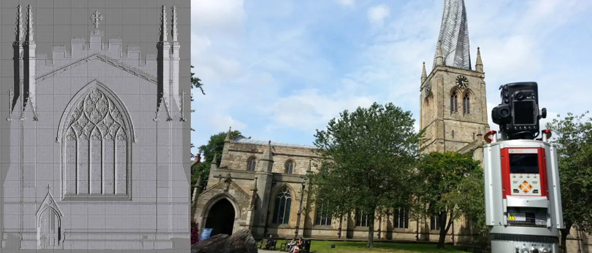
For complex building elevations we use either our Trimble S6 Vision or our laser scanner, offering a low-cost 2D solution from as little as £500 per elevation.
Surveying specialists since 1989
Specialists in large and complex building surveys using laser scanning, drones and total stations.
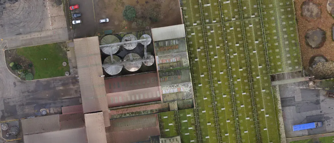
Specialists in very large and complex surveys of both land and buildings, using reflectorless technology, terrestrial laser scanners, drones and total stations with direct reflex to measure building layouts, elevations and roofs.
For complex building elevations we use either our Trimble S6 Vision or our laser scanner, offering a low-cost 2D solution from as little as £500 per elevation.
Using a total station, a laser scanner, or both, we can detect movement of about 1mm.
We produce relatively low-cost 3D models of existing and proposed developments, used at concept stage and to help gain funding.
Using our aerial mapping drones, we create 3D fly-throughs of proposed developments and existing site layouts.
Once cloud point data has been collected, clients can view slices through the building, giving a better perspective than a standard section.
Floor plans can be supplied with varying levels of detail, from simple walls, columns and openings to detailed drainage, construction detail and fixed equipment.
Contact Mining Surveys today for a professional, prompt and precise surveying service.