
Landfill Sites
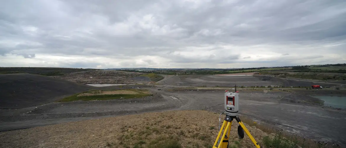
We use remote surveying for most of the larger surveys, either by UAV or laser scanner.
Surveying specialists since 1989
Utilising GPS, total stations, laser scanning and drone photogrammetry for accurate land surveys.
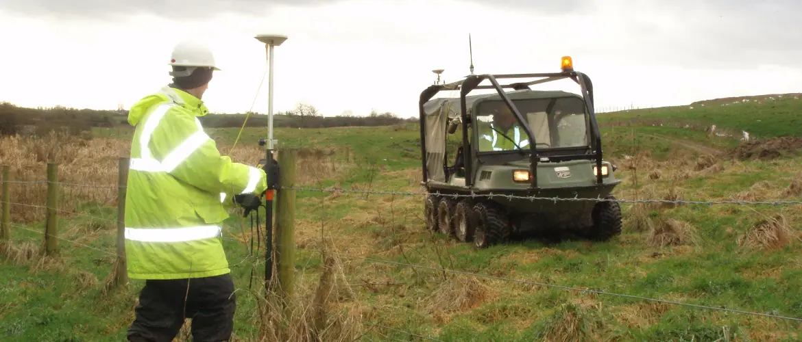
We are a hi-tech company utilising GPS, RTK (static and mobile), total stations with on-board digital imagery, terrestrial laser scanning and photogrammetry with drones.
We use remote surveying for most of the larger surveys, either by UAV or laser scanner.
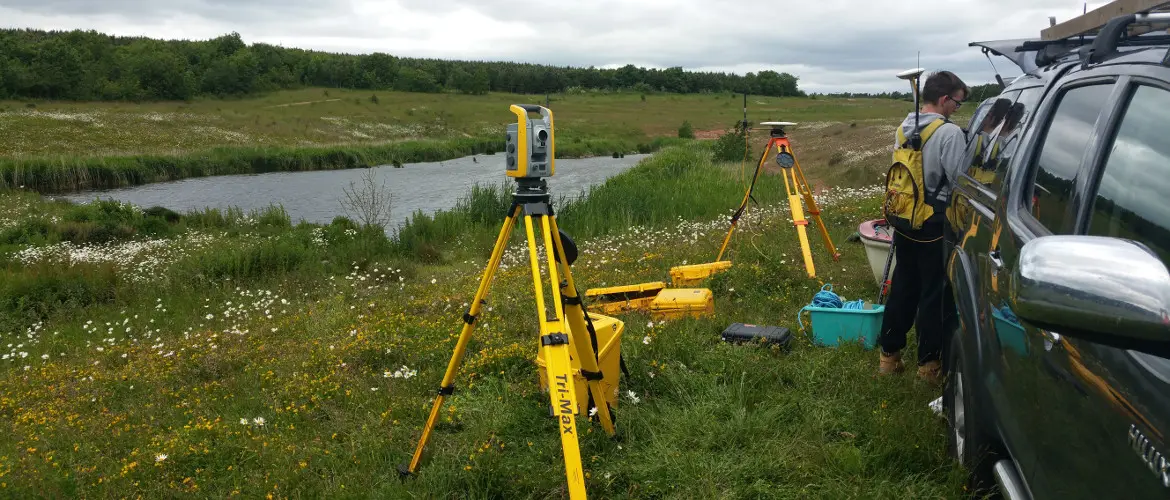
We use our Trimble S6 Vision synced to sonar and control, with soft detail surveyed using GPS.
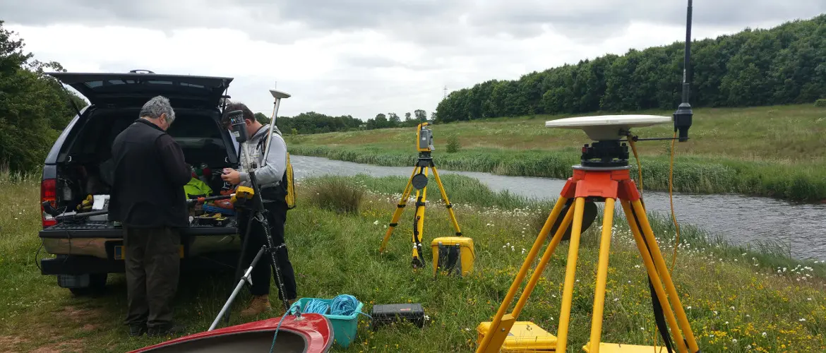
Clients often need river bed levels and the surrounding detail.
Contact Mining Surveys today for a professional, prompt and precise surveying service.