
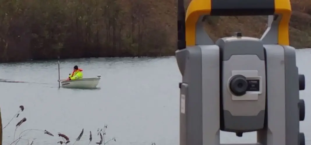
Hydrographic Surveys
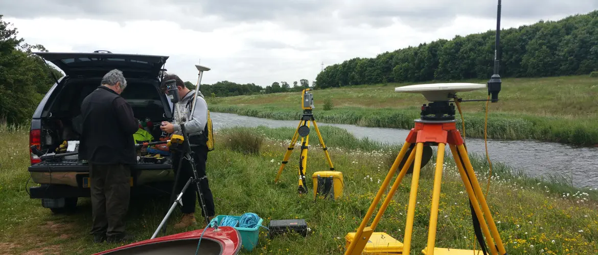
We offer two systems: single beam sonar for flooded quarries and inland non-tidal waterways, and wide beam sonar for larger bodies of water and tidal estuaries.
Surveying specialists since 1989
Mining Surveys (UK) Ltd, based in the Midlands and operating throughout the UK.
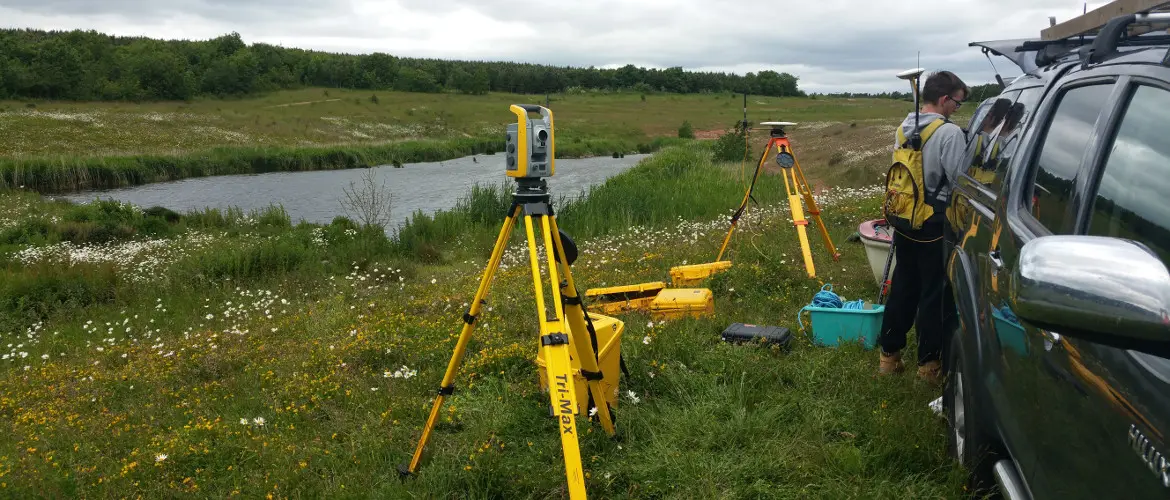
We offer two systems: single beam sonar for flooded quarries and inland non-tidal waterways, and wide beam sonar for larger bodies of water and tidal estuaries.
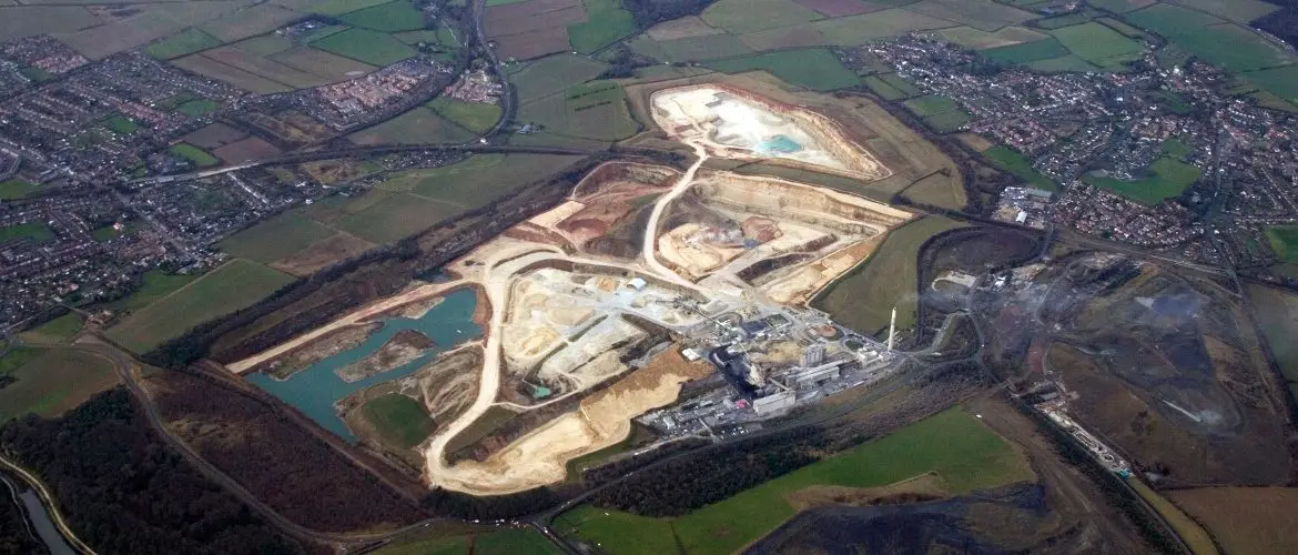
We have undertaken aerial photography since 1989, operating a light aircraft with a stabilised digital camera.
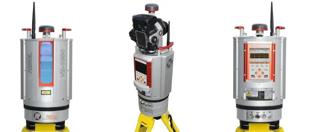
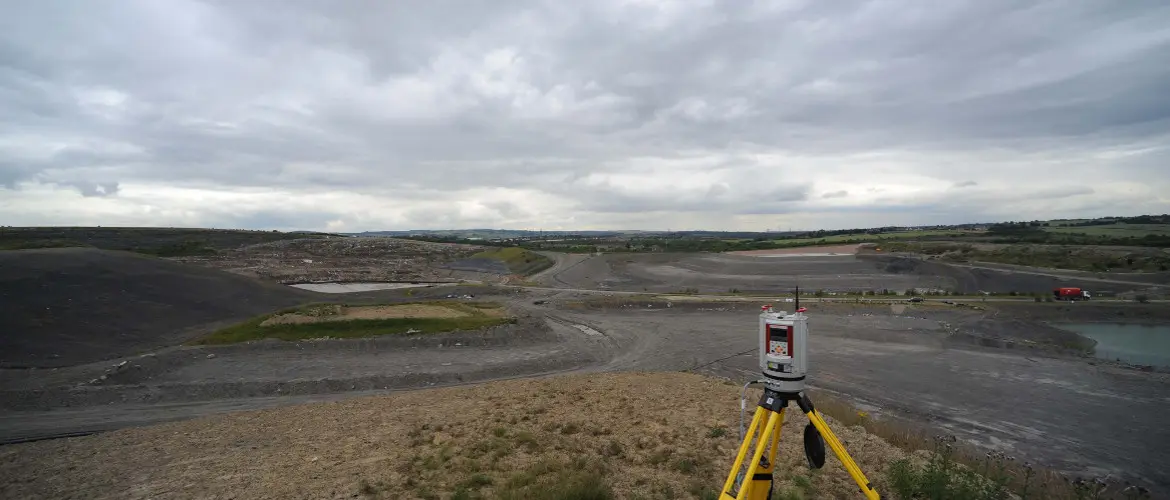
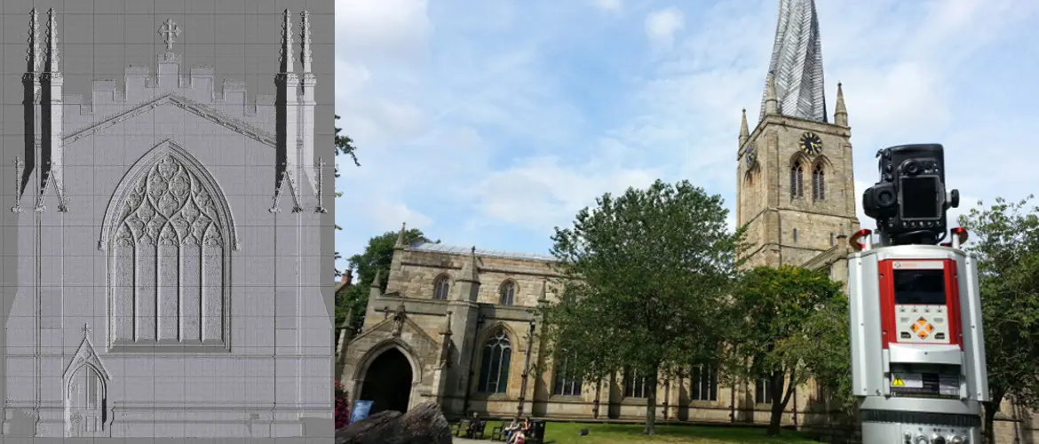
We specialise in long range terrestrial laser scanning, with a scanner range of 1.4km capturing 122,000 points per second and superior accuracy in adverse conditions.
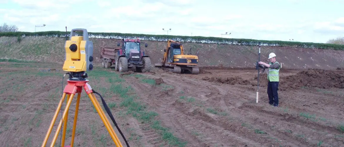
We offer a full site setting out service for civil engineering, groundworks, construction, landfill and earthworks.
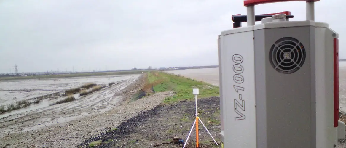
Our fast, long range scanner provides a high degree of accuracy, essential for monitoring areas affected by tidal flows.
Mining Surveys (UK) Ltd was formed in 1989 to provide a surveying and design service to the quarrying and landfill industries, with over 30 years' experience as deep mine/opencast surveyors in the coal industry.
The company started with two-man EDMs, progressed to robotic EDMs and GPS, and has since invested in a 1.4km long-range terrestrial laser scanner for non-contact survey work.
Our latest venture, Aerial Inspection and Mapping Surveys Ltd (AIMS Ltd), carries out UAV surveys here and abroad with fully qualified and insured CAA pilots.
Contact Mining Surveys today for a professional, prompt and precise surveying service.